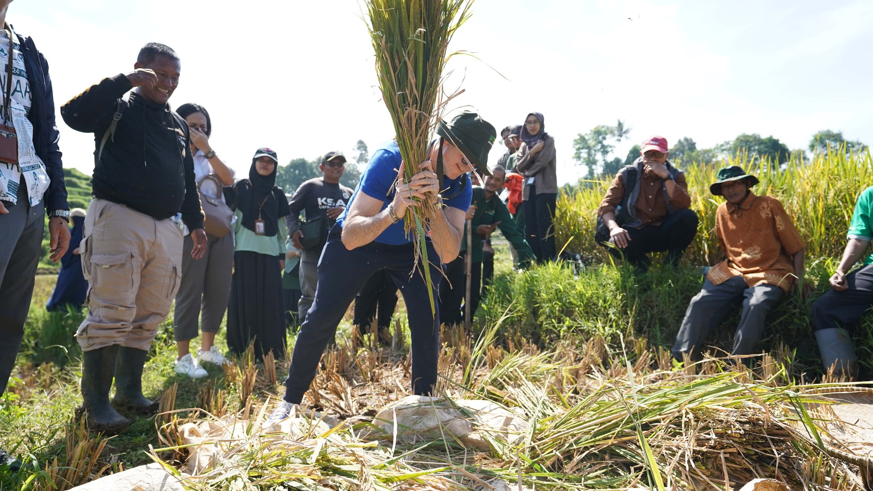
Rice data plays a crucial role as a strategic national resource for determining food policies in Indonesia. Consequently, the government is required to produce rice data quickly and accurately. Improving rice data has become a priority in agricultural modernization and digital transformation, leveraging big data technology, specifically Earth Observation (EO) data to gather agricultural information more efficiently and effectively. Advances in satellite image time series analysis, as demonstrated by Simoes et al. (2021), have shown the potential of EO data in enhancing agricultural monitoring by enabling temporal analysis of phenological patterns.
Currently, Indonesia calculates rice production data using two types of surveys. The first is the Area Sampling Frame Survey (ASF), which aims to identify the phenology of rice crops and estimate the harvested area. The second is the Crop Cutting Survey, which aims to determine crop yield. The outputs of these two surveys are then multiplied to calculate rice production.
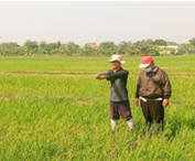
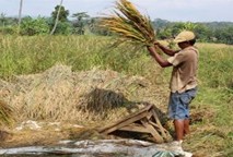
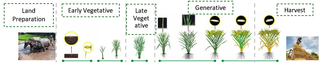
The ASF surveys are carried out every month, with field officers sent to 25,493 sample locations across the country. These officers are responsible for identifying the phenological stages of rice crop and submitting photos and data through an application. Five phenological stages are recorded: land perparation, early vegetative, late vegetative, generative, and harvest. This information is essential for predicting harvest periods, ensuring that the Crop Cutting Survey can be conducted at the appropriate time.
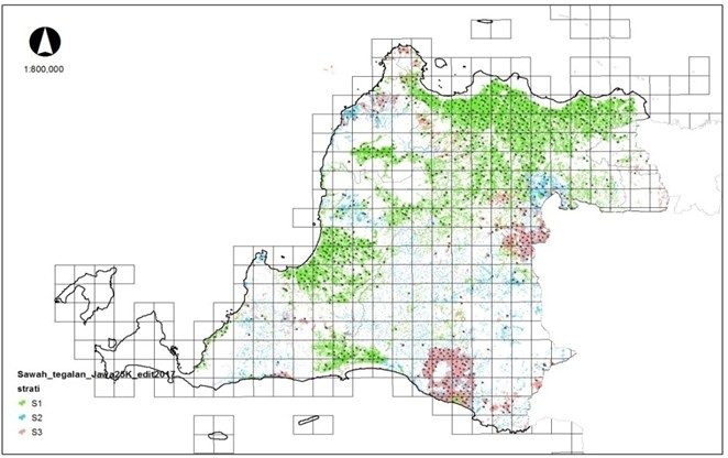
Both surveys encounter several challenges during implementation, such as the monthly requirement for field officers, which leads to significant budget demands, as well as the risk of data non-response in remote areas. Meanwhile, the EO technology, which allows the observation of Earth's surface using satellite imagery, offers an opportunity to identify the phenology of rice crops without relying on field visits, as is necessary in ASF surveys. This approach can be effectively used to support cost-efficient data collection for predicting rice phenology and estimating harvested areas. In 2024, Statistics Indonesia (BPS) developed a machine-learning model to identify rice crop phenology using multi-year EO and ASF data, this process started with 10 provinces as the initial models. The field data gathered monthly over the past few years through the ASF survey is a valuable resource for training the model. The ASF data includes details on the coordinates of the rice fields, the phenological status, and the dates on which the data was recorded. The monthly patterns of rice phenology can aid the model in achieving more precise identification. Furthermore, if this model is successfully applied to predict rice phenology and estimate harvest areas, it could reduce the number of sample areas currently visited by the ASF survey, leading to reduce the cost and efficiency in field activities.
To gain a deeper understanding of the mixed method application, here are various publications and documentations compiled by BPS and global organizations. These documents outline the methodological framework, best practices, and Indonesia's experience in combining conventional statistical data with remote sensing data, including in the context of crop phenology identification and rice estimation.
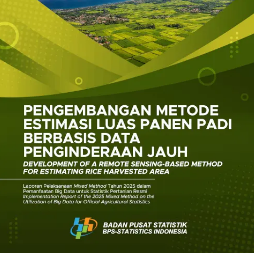
Development of a Remote Sensing-Based Method for Estimating Rice Harvested Area
Implementation Report of the 2025 Mixed Method on the Utilization of Big Data for Official Agricultural Statistics
View Document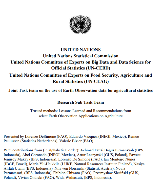
Indonesia: Earth Observation Data for Paddy Crop Phenology Identification
Wida Widiastuti, Achmad Fauzi Bagus Firmansyah, Fawcet Jenusdy Makay, Novia Permatasari, Nasiya Alifah Utami (Statistics Indonesia – BPS)
View Document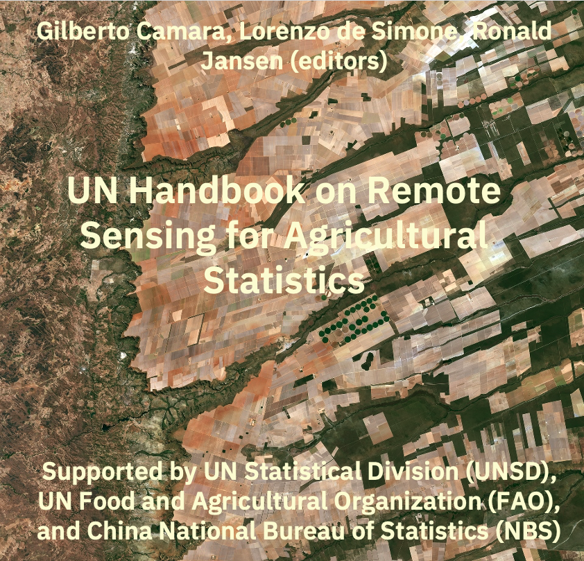
Mapping Crop Phenology in Indonesia
Achmad Fauzi Bagus Firmansyah (Statistics Indonesia – BPS)
View Document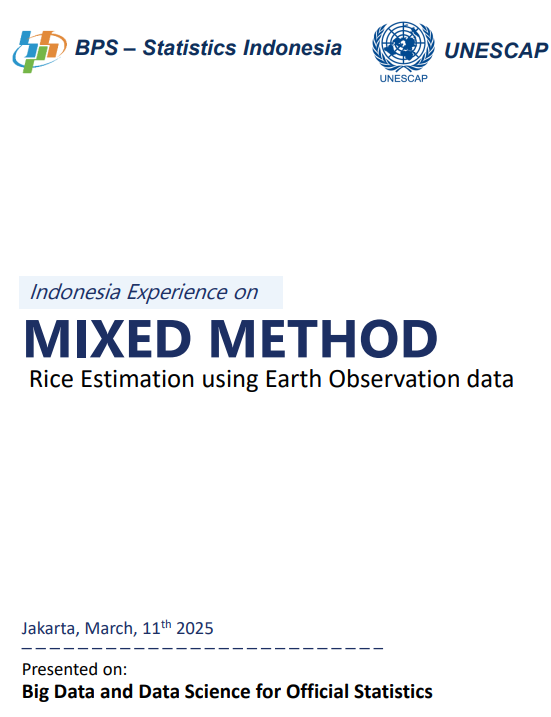
Indonesia Experiences on Rice Estimation using Earth Observation data
Big Data and Data Science for Official Statistics
View DocumentMixed Method's activities will be developed at national level in partnership between the various departments, other government agencies, universities, and non-governmental institutions. At international level, in partnership with the United Nations, FAO, Bappenas, other Regional and international organizations, national statistical institutes from the region, and other academic and research institutes.






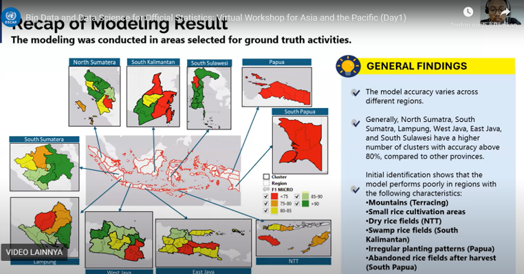
11th - 12th March 2025
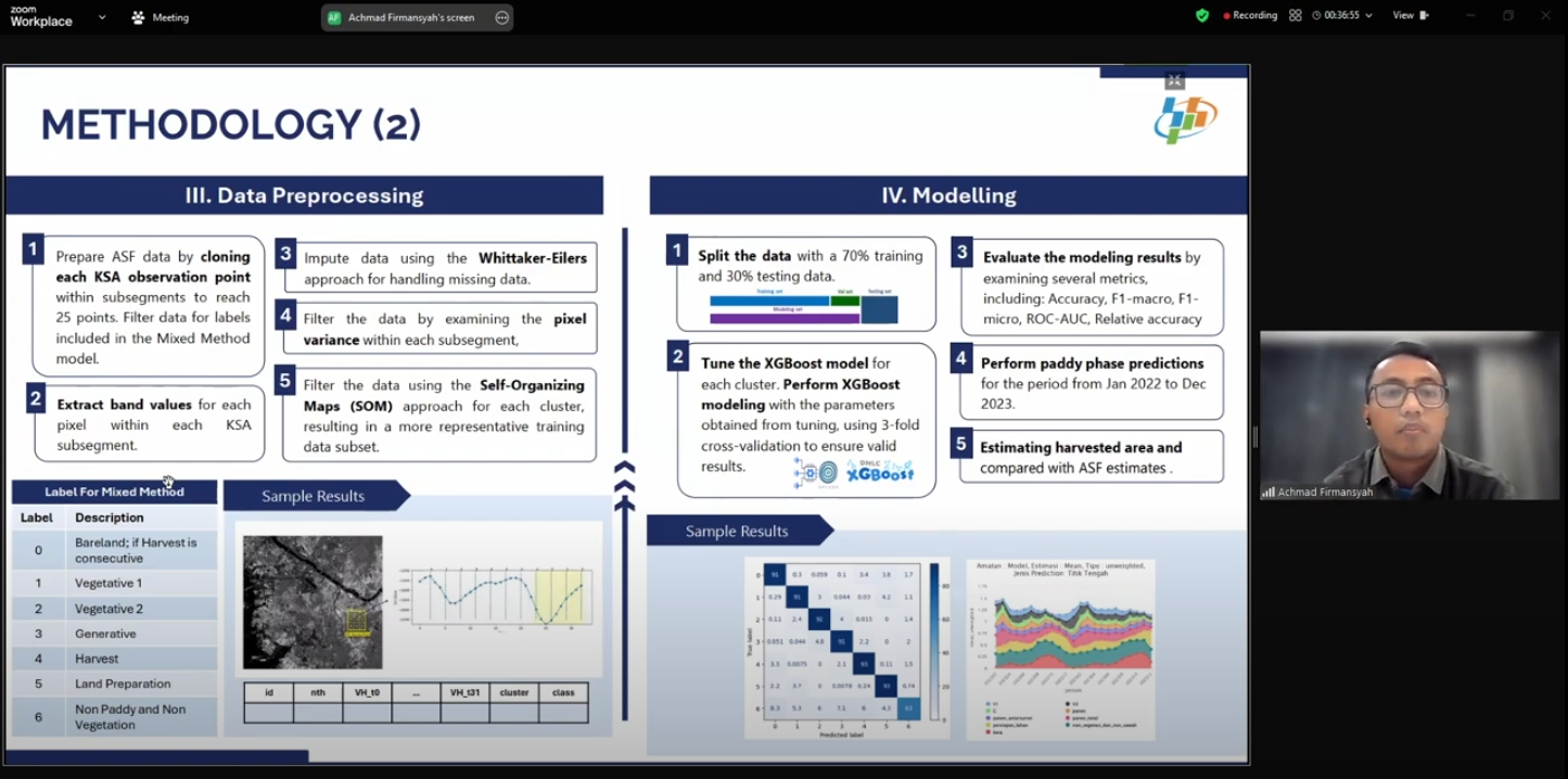
Feb 3rd 2025
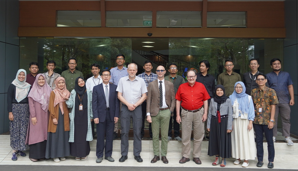
December 2nd - 6th, 2024
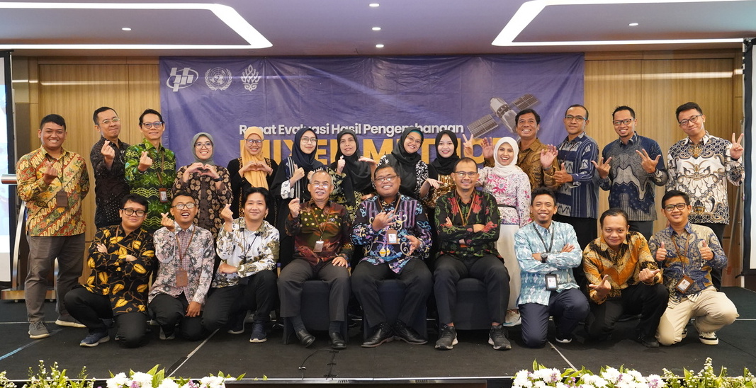
November 14th – 15th, 2024
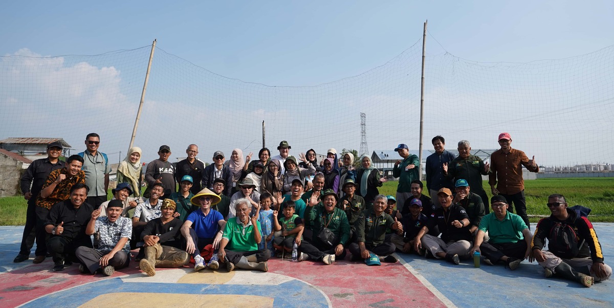
July 10th - 12th 2024
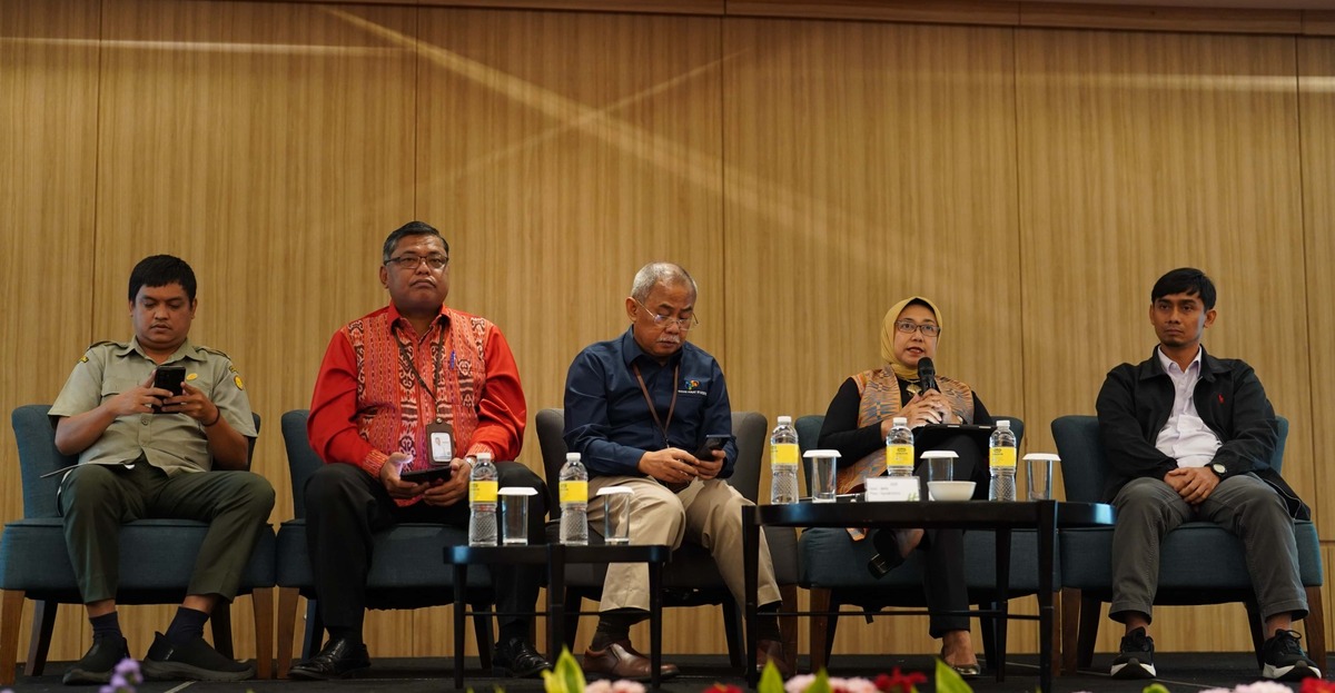
July 8th - 9th 2024
June 7th, 2024

February 6th, 2024
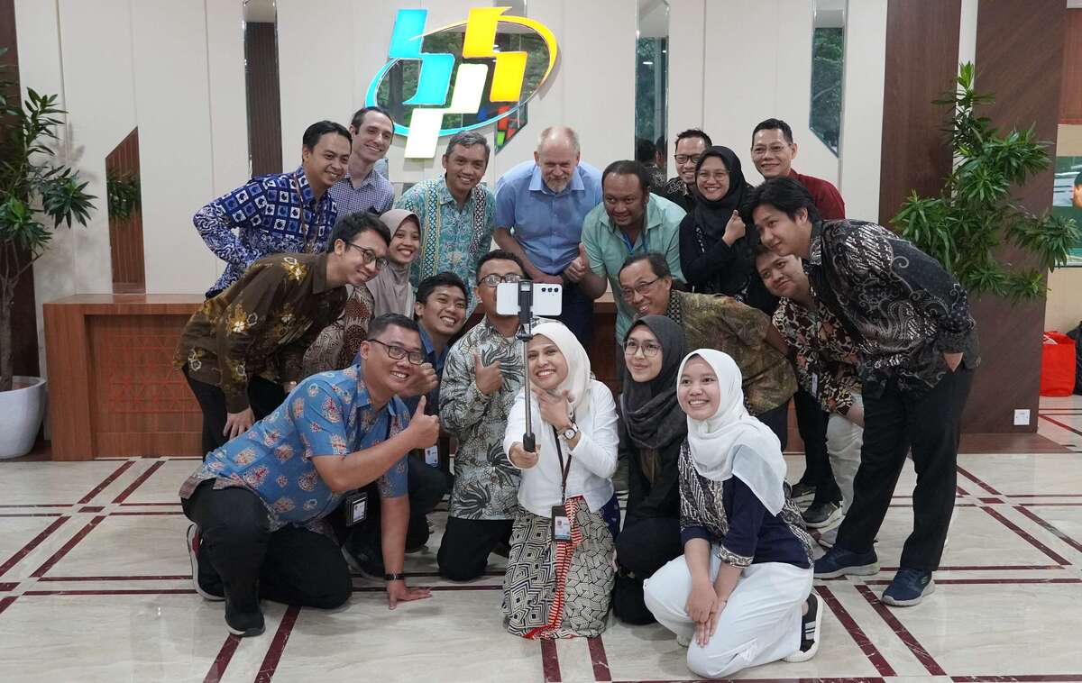
Badan Pusat Statistik (BPS - Statistics Indonesia)
Jl. Dr. Sutomo 6-8 Jakarta 10710 Indonesia